Geolocate

Glacier Ridge topographic map

Click on the map to display elevation.

About this map

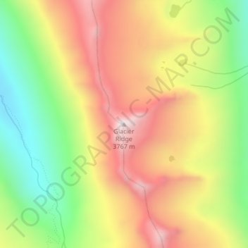
Name: Glacier Ridge topographic map, elevation, terrain.

Location: Glacier Ridge, Tulare County, California, United States (36.61758 -118.55894 36.61768 -118.55884)

Average elevation: 3,311 m

Minimum elevation: 2,852 m

Maximum elevation: 3,761 m

Gear up for your next adventure:

📍Handheld GPS - GPS devices for hiking and navigation
🧥Thermal Emergency Blankets - Compact Mylar blankets to prevent hypothermia if stranded overnight
🧯Animal Deterrent Spray - Safety spray for wildlife
🌿Flora and Fauna Field Guides - Identify the plants and animals you encounter on your route
📷Backpack Camera Clips - Quick access to your camera while keeping your hands free for climbing

As an Amazon Associate, this site earns from qualifying purchases at no extra cost to you.