
Zoznegg topographic map
Interactive map
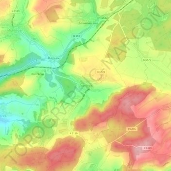
Click on the map to display elevation.
About this map
Name: Zoznegg topographic map, elevation, terrain.
Average elevation: 632 m
Minimum elevation: 552 m
Maximum elevation: 702 m
Zoznegg liegt im Nordosten des Hegaus, am Übergang zum Linzgau, etwa zweieinhalb Kilometer südöstlich der Mühlinger Ortsmitte, auf einer Höhe zwischen 582 und 683,7 m ü. NHN im „Bergholz“.