
Csömör topographic map
Interactive map
Click on the map to display elevation.
About this map
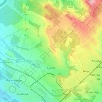
Name: Csömör topographic map, elevation, terrain.
Location: Csömör, Gödöllő Regional Unit, Pest, Central Hungary, Hungary (47.53274 19.16112 47.58531 19.25243)
Average elevation: 195 m
Minimum elevation: 127 m
Maximum elevation: 309 m