
Make a donation
Gear up for your next adventure:
As an Amazon Associate, this site earns from qualifying purchases at no extra cost to you.
Resurrection Bay topographic map
Click on the map to display elevation.
Make a donation
Gear up for your next adventure:
As an Amazon Associate, this site earns from qualifying purchases at no extra cost to you.
About this map
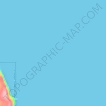
Name: Resurrection Bay topographic map, elevation, terrain.
Location: Resurrection Bay, Kenai Peninsula, Alaska, United States (60.00606 -149.36949 60.00616 -149.36939)
Average elevation: 3 m
Minimum elevation: 0 m
Maximum elevation: 162 m
Make a donation
Gear up for your next adventure:
As an Amazon Associate, this site earns from qualifying purchases at no extra cost to you.
Other topographic maps
Click on a map to view its topography, its elevation and its terrain.
Homer
United States > Alaska > Kenai Peninsula
Many of the birds seen during the festival can be identified with the help of published guides that categorize distinguishable features such as, topography, silhouette, size, and color.
Average elevation: 104 m
Make a donation
Gear up for your next adventure:
As an Amazon Associate, this site earns from qualifying purchases at no extra cost to you.