
Winterbach topographic map
Interactive map
Click on the map to display elevation.
About this map
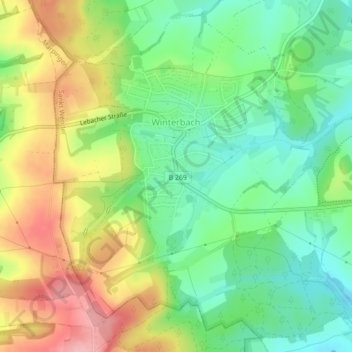
Name: Winterbach topographic map, elevation, terrain.
Location: Winterbach, Saint-Wendel, Landkreis St. Wendel, Sarre, Allemagne (49.45858 7.08642 49.48464 7.12989)
Average elevation: 340 m
Minimum elevation: 285 m
Maximum elevation: 419 m