
Glen Allen topographic map
Interactive map
Click on the map to display elevation.
About this map
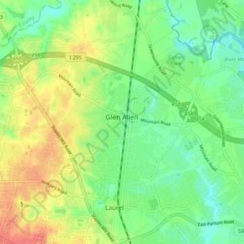
Name: Glen Allen topographic map, elevation, terrain.
Location: Glen Allen, Henrico County, Virginia, United States (37.63522 -77.52748 37.69417 -77.44831)
Average elevation: 69 m
Minimum elevation: 45 m
Maximum elevation: 102 m