
Esto topographic map
Interactive map
Click on the map to display elevation.
About this map
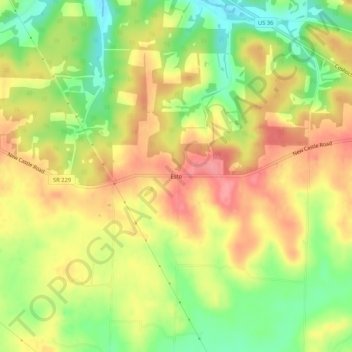
Name: Esto topographic map, elevation, terrain.
Location: Esto, Butler Township, Knox County, Ohio, VS (40.31396 -82.25015 40.35396 -82.21015)
Average elevation: 333 m
Minimum elevation: 284 m
Maximum elevation: 375 m