
中区 topographic map
Interactive map
Click on the map to display elevation.
About this map
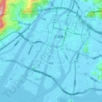
Name: 中区 topographic map, elevation, terrain.
Location: 中区, Hiroshima, Prefectura de Hiroshima, Japón (34.34915 132.41971 34.41533 132.47086)
Average elevation: 18 m
Minimum elevation: -7 m
Maximum elevation: 308 m