
Larré topographic map
Interactive map
Click on the map to display elevation.
About this map
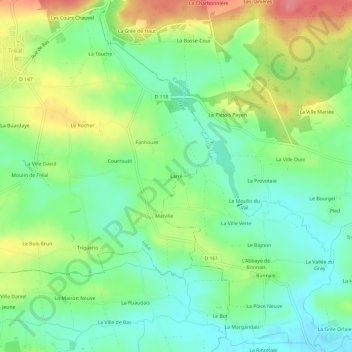
Name: Larré topographic map, elevation, terrain.
Location: Larré, Vannes, Morbihan, Brittany, Metropolitan France, France (47.80419 -2.21658 47.84419 -2.17658)
Average elevation: 50 m
Minimum elevation: 18 m
Maximum elevation: 101 m