Geolocate

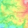
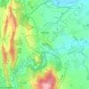
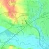
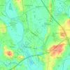
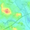
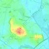
Ryall topographic map

Click on the map to display elevation.

About this map

Name: Ryall topographic map, elevation, terrain.

Location: Ryall, Malvern Hills, Worcestershire, England, WR8 0PH, United Kingdom (52.04376 -2.22010 52.08376 -2.18010)

Average elevation: 17 m

Minimum elevation: 7 m

Maximum elevation: 55 m

Other topographic maps

Click on a map to view its topography, its elevation and its terrain.

Hanley

United Kingdom > England > Worcestershire > Malvern Hills

Average elevation: 158 m

Holt

United Kingdom > England > Worcestershire > Malvern Hills

Average elevation: 60 m

Mamble

United Kingdom > England > Worcestershire > Malvern Hills

Average elevation: 129 m

Pensax

United Kingdom > England > Worcestershire > Malvern Hills

Average elevation: 131 m

Powick

United Kingdom > England > Worcestershire > Malvern Hills

Average elevation: 28 m

Hallow

United Kingdom > England > Worcestershire > Malvern Hills

Average elevation: 37 m

West Malvern

United Kingdom > England > Worcestershire > Malvern Hills

West Malvern is a village and a civil parish on the west side of the north part of the Malvern Hills, on the western edge of Worcestershire, England. It has become effectively a suburb of Malvern and part of an urban area often called The Malverns, locally administered by Malvern Hills District Council and its…

Average elevation: 198 m
Ripple

United Kingdom > England > Worcestershire > Malvern Hills

Average elevation: 21 m

Berrow

United Kingdom > England > Worcestershire > Malvern Hills

Average elevation: 35 m

Bayton

United Kingdom > England > Worcestershire > Malvern Hills

Average elevation: 141 m

Leigh

United Kingdom > England > Worcestershire > Malvern Hills

Average elevation: 48 m

Hallow

United Kingdom > England > Worcestershire > Malvern Hills

Average elevation: 37 m

Gear up for your next adventure:

🛰️Handheld GPS Units - Rugged GPS devices for tracking coordinates and elevation in the Australian bush
📦Crushproof Equipment Cases - Safe transport for sensitive surveying and mapping instruments
🧤Hiking Gloves - Protective gloves for outdoor use
🛌Compact Down Sleeping Bags - Warmth without the bulk, ideal for backcountry camping
🧺Waterproof Dry Sacks - Organize your pack and keep electronics safe from rain and river crossings

As an Amazon Associate, this site earns from qualifying purchases at no extra cost to you.