
Parkdale topographic map
Interactive map
Click on the map to display elevation.
About this map
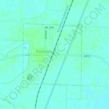
Name: Parkdale topographic map, elevation, terrain.
Location: Parkdale, Ashley County, Arkansas, United States (33.11354 -91.55511 33.12886 -91.53764)
Average elevation: 36 m
Minimum elevation: 33 m
Maximum elevation: 40 m