
Make a donation
Gear up for your next adventure:
As an Amazon Associate, this site earns from qualifying purchases at no extra cost to you.
Tian Shan topographic map
Click on the map to display elevation.
Make a donation
Gear up for your next adventure:
As an Amazon Associate, this site earns from qualifying purchases at no extra cost to you.
Tian Shan
The Torugart Pass, at 3,752 metres (12,310 ft), is located at the border between Kyrgyzstan and China's Xinjiang province. The forested Alatau ranges, which are at a lower altitude in the northern part of the Tian Shan, are inhabited by pastoral tribes that speak Turkic languages.
Make a donation
Gear up for your next adventure:
As an Amazon Associate, this site earns from qualifying purchases at no extra cost to you.
About this map
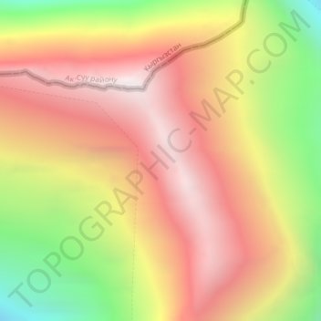
Name: Tian Shan topographic map, elevation, terrain.
Location: Tian Shan, Wensu County, Aksu Prefecture, Xinjiang, China (42.03089 80.20056 42.03099 80.20066)
Average elevation: 6,096 m
Minimum elevation: 5,160 m
Maximum elevation: 6,790 m
Make a donation
Gear up for your next adventure:
As an Amazon Associate, this site earns from qualifying purchases at no extra cost to you.