
Africa topographic map
Interactive map
Click on the map to display elevation.
About this map
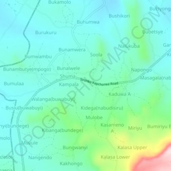
Name: Africa topographic map, elevation, terrain.
Location: Africa, Bugisa sub-region, Sironko, Eastern Region, Uganda (1.18640 34.18797 1.22640 34.22797)
Average elevation: 1,229 m
Minimum elevation: 1,150 m
Maximum elevation: 1,532 m