
Uttargaya topographic map
Interactive map
Click on the map to display elevation.
About this map
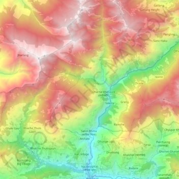
Name: Uttargaya topographic map, elevation, terrain.
Location: Uttargaya, रसुवा, Bagmati, Népal (27.97283 85.11947 28.16846 85.24284)
Average elevation: 2,269 m
Minimum elevation: 609 m
Maximum elevation: 4,037 m
Other topographic maps
Click on a map to view its topography, its elevation and its terrain.