
各几农 topographic map
Interactive map
Click on the map to display elevation.
About this map
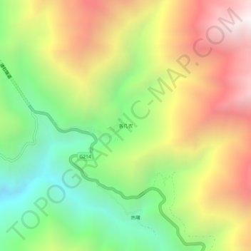
Name: 各几农 topographic map, elevation, terrain.
Location: 各几农, 升平镇, 德钦县, 迪庆藏族自治州, 云南省, 中国 (28.42671 98.93650 28.46671 98.97650)
Average elevation: 3,866 m
Minimum elevation: 3,021 m
Maximum elevation: 4,853 m
Other topographic maps
Click on a map to view its topography, its elevation and its terrain.