
Make a donation
Gear up for your next adventure:
As an Amazon Associate, this site earns from qualifying purchases at no extra cost to you.
Einödriegel topographic map
Click on the map to display elevation.
Make a donation
Gear up for your next adventure:
As an Amazon Associate, this site earns from qualifying purchases at no extra cost to you.
Einödriegel
Benachbarte Berge sind der Geißkopf, der Dreitannenriegel und der Breitenauriegel, die alle im selben Höhenzug nahe Bischofsmais liegen. Auf dem Einödriegel mit schöner Aussicht nach Westen und Nordosten steht ein stattliches Gipfelkreuz mit Rastbänken. Im Winter führt ein Skilift von der Unterbreitenau hinauf, der zum Skigebiet des Geißkopfs gehört. Zu Fuß ist der Gipfel über einen ausgeschilderten Wanderweg erreichbar.
Make a donation
Gear up for your next adventure:
As an Amazon Associate, this site earns from qualifying purchases at no extra cost to you.
About this map
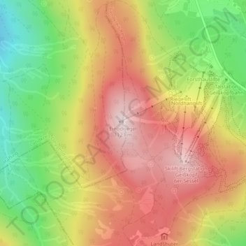
Name: Einödriegel topographic map, elevation, terrain.
Average elevation: 915 m
Minimum elevation: 682 m
Maximum elevation: 1,113 m
Make a donation
Gear up for your next adventure:
As an Amazon Associate, this site earns from qualifying purchases at no extra cost to you.