
Noro topographic map
Interactive map
Click on the map to display elevation.
About this map
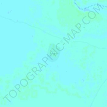
Name: Noro topographic map, elevation, terrain.
Location: Noro, Hadjer-Lamis, Chad (12.50224 17.16411 12.54224 17.20411)
Average elevation: 297 m
Minimum elevation: 295 m
Maximum elevation: 299 m