
Gangwon topographic map
Interactive map
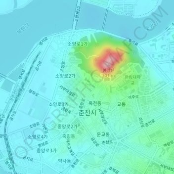
Click on the map to display elevation.
About this map
Name: Gangwon topographic map, elevation, terrain.
Location: Gangwon, 모수물길, 봉의동, 춘천시, Gangwon, 24267, Coreia do Sul (37.88495 127.72965 37.88505 127.72975)
Average elevation: 95 m
Minimum elevation: 67 m
Maximum elevation: 279 m