
Silstedt topographic map
Interactive map
Click on the map to display elevation.
About this map
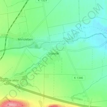
Name: Silstedt topographic map, elevation, terrain.
Location: Silstedt, Landkreis Harz, Sachsen-Anhalt, Deutschland (51.84061 10.82787 51.88061 10.86787)
Average elevation: 199 m
Minimum elevation: 166 m
Maximum elevation: 280 m