
Fene topographic map
Interactive map
Click on the map to display elevation.
About this map
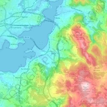
Name: Fene topographic map, elevation, terrain.
Location: Fene, Ferrol, La Coruña, Galicia, 15500, España (43.43367 -8.20256 43.51367 -8.12256)
Average elevation: 117 m
Minimum elevation: -2 m
Maximum elevation: 385 m