
Mettler topographic map
Interactive map
Click on the map to display elevation.
About this map
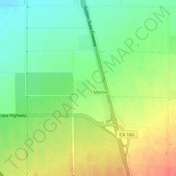
Name: Mettler topographic map, elevation, terrain.
Average elevation: 164 m
Minimum elevation: 139 m
Maximum elevation: 195 m
Mettler, which is 25 miles (40 km) south of Bakersfield, is at 35°03′50″N 118°58′12″W / 35.06389°N 118.97000°W / 35.06389; -118.97000. The locality has an area of 0.2 square miles (0.52 km2) and an elevation of 541 feet (165 m).