
Sangamon County topographic map
Interactive map
Click on the map to display elevation.
About this map
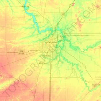
Name: Sangamon County topographic map, elevation, terrain.
Location: Sangamon County, Illinois, VS (39.52264 -89.99410 39.97682 -89.21828)
Average elevation: 186 m
Minimum elevation: 149 m
Maximum elevation: 232 m
Other topographic maps
Click on a map to view its topography, its elevation and its terrain.