
Katarre topographic map
Interactive map
Click on the map to display elevation.
About this map
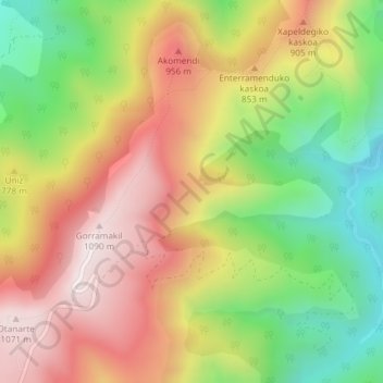
Name: Katarre topographic map, elevation, terrain.
Location: Katarre, Baztan, Baztan-Bidasoa, 64250, Spanien (43.21352 -1.43229 43.23352 -1.41229)
Average elevation: 722 m
Minimum elevation: 341 m
Maximum elevation: 1,085 m