
Buluko topographic map
Interactive map
Click on the map to display elevation.
About this map
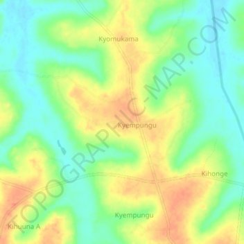
Name: Buluko topographic map, elevation, terrain.
Location: Buluko, Kakumiro, Western Region, Uganda (1.11333 31.21333 1.15333 31.25333)
Average elevation: 1,107 m
Minimum elevation: 1,085 m
Maximum elevation: 1,133 m