
Thank you for supporting this site ❤️
Make a donation
Make a donation
Gear up for your next adventure:
As an Amazon Associate, this site earns from qualifying purchases at no extra cost to you.
Amie topographic map
Click on the map to display elevation.
Thank you for supporting this site ❤️
Make a donation
Make a donation
Gear up for your next adventure:
🐍Australian Snake Bite Kits - Specific pressure immobilization bandages for Australian venomous snakes
As an Amazon Associate, this site earns from qualifying purchases at no extra cost to you.
About this map
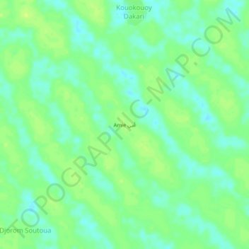
Name: Amie topographic map, elevation, terrain.
Location: Amie, Kanem, Chad (13.35758 15.77542 13.39758 15.81542)
Average elevation: 295 m
Minimum elevation: 287 m
Maximum elevation: 302 m
Thank you for supporting this site ❤️
Make a donation
Make a donation
Gear up for your next adventure:
As an Amazon Associate, this site earns from qualifying purchases at no extra cost to you.