Geolocate

Ilasan Ibaba topographic map

Click on the map to display elevation.

About this map
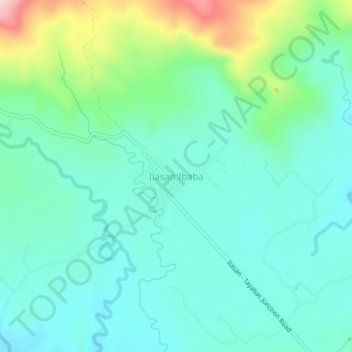
Name: Ilasan Ibaba topographic map, elevation, terrain.

Location: Ilasan Ibaba, Tayabas, Quezon, Calabarzon, 4327, Philippines (14.04351 121.61433 14.08351 121.65433)

Average elevation: 214 m

Minimum elevation: 153 m

Maximum elevation: 409 m

Other topographic maps

Click on a map to view its topography, its elevation and its terrain.

Wakas

Philippines > Quezon > Tayabas > Lakawan

Average elevation: 112 m

Gear up for your next adventure:

🧥Insulated Down Jackets - High warmth-to-weight ratio for cold nights in the high country
🌧️Rain Jackets - Waterproof jackets for hiking
🆘Personal Locator Beacons (PLB) - Satellite emergency beacons for life-saving help in areas with no mobile coverage
🛌Compact Down Sleeping Bags - Warmth without the bulk, ideal for backcountry camping
🛌Sleeping Bags - Sleeping bags for outdoor camping

As an Amazon Associate, this site earns from qualifying purchases at no extra cost to you.