
Kihura topographic map
Interactive map
Click on the map to display elevation.
About this map
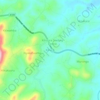
Name: Kihura topographic map, elevation, terrain.
Location: Kihura, Kyenjojo, Western Region, Uganda (0.56333 30.71333 0.60333 30.75333)
Average elevation: 1,317 m
Minimum elevation: 1,249 m
Maximum elevation: 1,525 m