
Nordseter topographic map
Interactive map
Click on the map to display elevation.
About this map
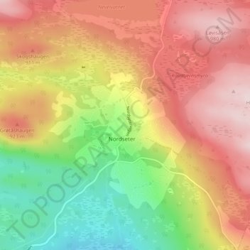
Name: Nordseter topographic map, elevation, terrain.
Location: Nordseter, Lillehammer, Innlandet, Norwegen (61.15557 10.59485 61.19557 10.63485)
Average elevation: 830 m
Minimum elevation: 673 m
Maximum elevation: 988 m