
Tramway topographic map
Interactive map
Click on the map to display elevation.
About this map
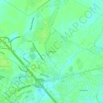
Name: Tramway topographic map, elevation, terrain.
Location: Tramway, Berkeley County, South Carolina, 29483-7803, VS (33.03045 -80.16287 33.07045 -80.12287)
Average elevation: 23 m
Minimum elevation: 17 m
Maximum elevation: 29 m