
Abu Ghusun topographic map
Interactive map
Click on the map to display elevation.
About this map
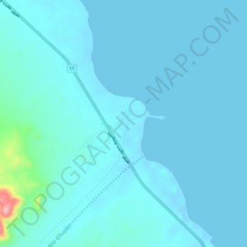
Name: Abu Ghusun topographic map, elevation, terrain.
Location: Abu Ghusun, Red Sea, Egypt (24.43240 35.17912 24.47240 35.21912)
Average elevation: 14 m
Minimum elevation: -12 m
Maximum elevation: 174 m
Other topographic maps
Click on a map to view its topography, its elevation and its terrain.
Wadi El-Gemal - Hamata National Park
Wadi El-Gemal - Hamata National Park, Red Sea, Egypt
Average elevation: 244 m
Al Qusair City
Egypt > Red Sea > Al Qusair City
Al Qusair City, Red Sea, 84712, Egypt
Average elevation: 47 m