
Lúčky topographic map
Interactive map
Click on the map to display elevation.
Lúčky
The village lies at an altitude of 107 metres and covers an area of 7.92 km2 (3.06 sq mi) (2020-06-30/-07-01).
About this map
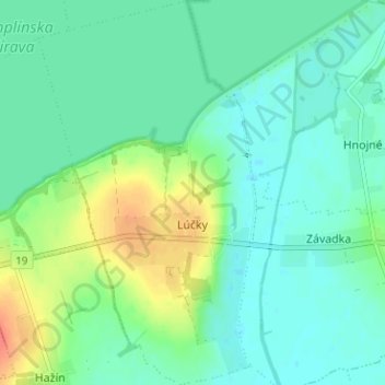
Name: Lúčky topographic map, elevation, terrain.
Average elevation: 113 m
Minimum elevation: 100 m
Maximum elevation: 143 m