
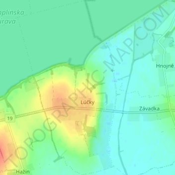
Lúčky topographic map
Interactive map
Click on the map to display elevation.
About this map
Name: Lúčky topographic map, elevation, terrain.
Average elevation: 113 m
Minimum elevation: 100 m
Maximum elevation: 143 m
The village lies at an altitude of 107 metres and covers an area of 7.92 km2 (3.06 sq mi) (2020-06-30/-07-01).