
Kolir topographic map
Interactive map
Click on the map to display elevation.
About this map
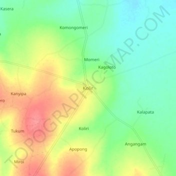
Name: Kolir topographic map, elevation, terrain.
Location: Kolir, Bukedea, Eastern Region, Uganda (1.28032 34.12497 1.36032 34.20497)
Average elevation: 1,093 m
Minimum elevation: 1,063 m
Maximum elevation: 1,137 m