
Cairns Island topographic map
Interactive map
Click on the map to display elevation.
About this map
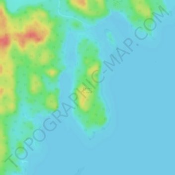
Name: Cairns Island topographic map, elevation, terrain.
Location: Cairns Island, Division No. 18, Saskatchewan, Canada (59.48975 -108.99900 59.50610 -108.98625)
Average elevation: 218 m
Minimum elevation: 207 m
Maximum elevation: 265 m