
Monte Patón topographic map
Interactive map
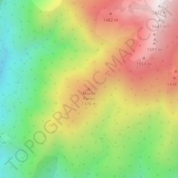
Click on the map to display elevation.
About this map
Name: Monte Patón topographic map, elevation, terrain.
Average elevation: 1,144 m
Minimum elevation: 667 m
Maximum elevation: 1,668 m
Other topographic maps
Click on a map to view its topography, its elevation and its terrain.
Charco Zarco
Espagne > Castille-et-León > Candeleda
Charco Zarco, Candeleda, Ávila, Castille-et-León, Espagne
Average elevation: 1,734 m