Geolocate

Point Pelee topographic map

Click on the map to display elevation.

About this map
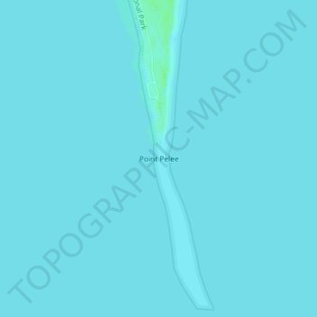
Name: Point Pelee topographic map, elevation, terrain.

Location: Point Pelee, Leamington, Essex County, Southwestern Ontario, Ontario, Canada (41.90881 -82.50942 41.90891 -82.50932)

Average elevation: 172 m

Minimum elevation: 171 m

Maximum elevation: 178 m

Other topographic maps

Click on a map to view its topography, its elevation and its terrain.

Gear up for your next adventure:

👟Lightweight Trail Runners - Agile footwear for fast movement over rugged Australian terrain
📚Map Reading & Navigation Guides - Master the art of interpreting topographic contours and symbols
🏃Compression Recovery Socks - Reduce leg fatigue after heavy days of elevation gain
🚗Car Camping Gear - Equipment for vehicle camping
🧥Packable Rain Jackets - Breathable waterproof layers for unpredictable mountain weather

As an Amazon Associate, this site earns from qualifying purchases at no extra cost to you.