
Enghien topographic map
Interactive map
Click on the map to display elevation.
About this map
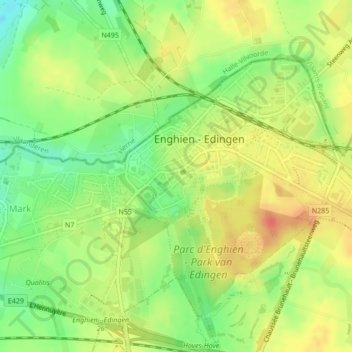
Name: Enghien topographic map, elevation, terrain.
Location: Enghien, Ath, Hainaut, Wallonie, Belgique (50.68803 4.02920 50.69762 4.04604)
Average elevation: 58 m
Minimum elevation: 31 m
Maximum elevation: 81 m
Other topographic maps
Click on a map to view its topography, its elevation and its terrain.