
Chima topographic map
Interactive map
Click on the map to display elevation.
About this map
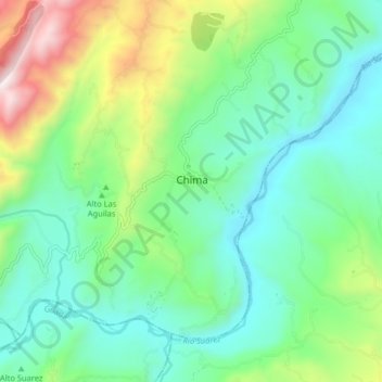
Name: Chima topographic map, elevation, terrain.
Location: Chima, Santander, Colômbia (6.30185 -73.41290 6.38185 -73.33290)
Average elevation: 1,146 m
Minimum elevation: 818 m
Maximum elevation: 2,008 m