
Malaga topographic map
Interactive map
Click on the map to display elevation.
About this map
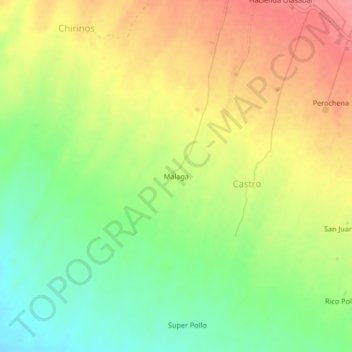
Name: Malaga topographic map, elevation, terrain.
Location: Malaga, Castro, Santa Rita de Siguas, Arequipa, Pérou (-16.51599 -72.15848 -16.47599 -72.11848)
Average elevation: 1,241 m
Minimum elevation: 1,201 m
Maximum elevation: 1,281 m