
Larrau topographic map
Interactive map
Click on the map to display elevation.
About this map
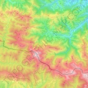
Name: Larrau topographic map, elevation, terrain.
Average elevation: 1,025 m
Minimum elevation: 245 m
Maximum elevation: 2,011 m
Les toponymes Achéritxé, Acourtéry, Araté (trois monts sur le territoire de Larrau) et Achigarre (un bois de la commune) sont mentionnés en 1863 (dictionnaire topographique Béarn-Pays basque).