
特村 topographic map
Interactive map
Click on the map to display elevation.
About this map
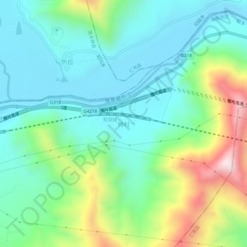
Name: 特村 topographic map, elevation, terrain.
Location: 特村, 联乡, 桑珠孜区, 日喀则市, China (29.32470 89.64000 29.36470 89.68000)
Average elevation: 3,965 m
Minimum elevation: 3,762 m
Maximum elevation: 4,500 m