
Edgefield topographic map
Interactive map
Click on the map to display elevation.
About this map
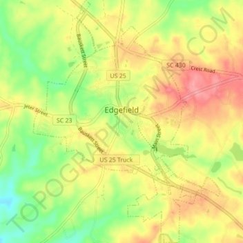
Name: Edgefield topographic map, elevation, terrain.
Location: Edgefield, Edgefield County, South Carolina, United States (33.75813 -81.95474 33.81550 -81.90149)
Average elevation: 158 m
Minimum elevation: 113 m
Maximum elevation: 199 m