
Macungie topographic map
Interactive map
Click on the map to display elevation.
About this map
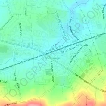
Name: Macungie topographic map, elevation, terrain.
Location: Macungie, Lehigh County, Pennsylvania, USA (40.50496 -75.56435 40.52937 -75.54057)
Average elevation: 133 m
Minimum elevation: 107 m
Maximum elevation: 204 m