
Гурвансайхан topographic map
Interactive map
Click on the map to display elevation.
About this map
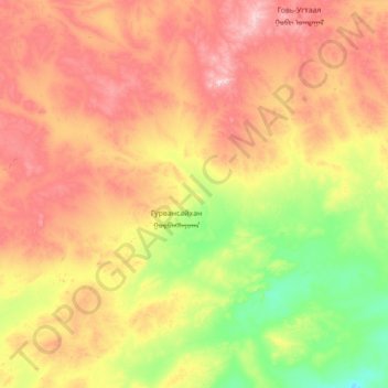
Name: Гурвансайхан topographic map, elevation, terrain.
Location: Гурвансайхан, Dundgovi, Mongolie (45.23641 106.38507 45.95378 107.79751)
Average elevation: 1,277 m
Minimum elevation: 1,022 m
Maximum elevation: 1,697 m
Other topographic maps
Click on a map to view its topography, its elevation and its terrain.