
บ้านภูพิงค์ฯ topographic map
Interactive map
Click on the map to display elevation.
About this map
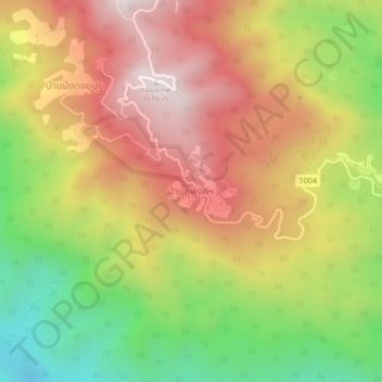
Name: บ้านภูพิงค์ฯ topographic map, elevation, terrain.
Location: บ้านภูพิงค์ฯ, บ้านปง, チエンマイ県, タイ王国 (18.78515 98.87628 18.82515 98.91628)
Average elevation: 1,126 m
Minimum elevation: 615 m
Maximum elevation: 1,586 m
Other topographic maps
Click on a map to view its topography, its elevation and its terrain.