
Beierfeld topographic map
Interactive map
Click on the map to display elevation.
About this map
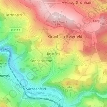
Name: Beierfeld topographic map, elevation, terrain.
Average elevation: 555 m
Minimum elevation: 396 m
Maximum elevation: 730 m
Other topographic maps
Click on a map to view its topography, its elevation and its terrain.
Grünhain-Beierfeld
Deutschland > Sachsen > Erzgebirgskreis > Grünhain-Beierfeld
Grünhain-Beierfeld, Erzgebirgskreis, Sachsen, 08344, Deutschland
Average elevation: 593 m