
Lower Rea topographic map
Click on the map to display elevation.
About this map
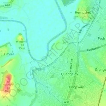
Name: Lower Rea topographic map, elevation, terrain.
Average elevation: 17 m
Minimum elevation: 3 m
Maximum elevation: 60 m
Other topographic maps
Click on a map to view its topography, its elevation and its terrain.
Abbeymead Contour Park
United Kingdom > England > Gloucestershire > Gloucester
Average elevation: 46 m
Barnwood Park & Arboretum
United Kingdom > England > Gloucestershire > Gloucester
Average elevation: 32 m