Geolocate

Angram topographic map

Click on the map to display elevation.

About this map
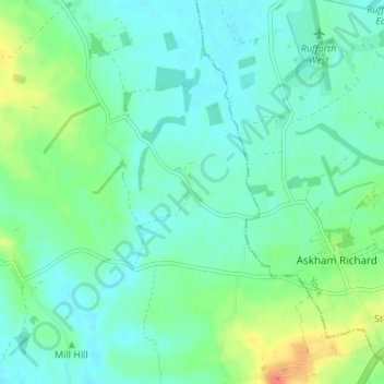
Name: Angram topographic map, elevation, terrain.

Location: Angram, Long Marston, North Yorkshire, York and North Yorkshire, England, YO23 3PA, United Kingdom (53.91117 -1.22961 53.95117 -1.18961)

Average elevation: 23 m

Minimum elevation: 12 m

Maximum elevation: 53 m

Gear up for your next adventure:

🎒Hiking Backpacks - Backpacks designed for hiking and trekking
📸Action Cameras - Record your journey across interesting topographic features in 4K
🧴SPF 50+ Bulk Sunscreen - Maximum protection for long-term outdoor exposure
⌚Altimeter Barometer Watches - Outdoor watches with built-in sensors to track altitude changes and weather shifts
🧥Thermal Emergency Blankets - Compact Mylar blankets to prevent hypothermia if stranded overnight

As an Amazon Associate, this site earns from qualifying purchases at no extra cost to you.