
Eterazama topographic map
Interactive map
Click on the map to display elevation.
About this map
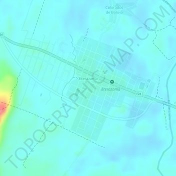
Name: Eterazama topographic map, elevation, terrain.
Location: Eterazama, Villa Tunari, Chapare, Cochabamba, Bolivia (-16.84208 -65.52438 -16.82586 -65.50995)
Average elevation: 236 m
Minimum elevation: 224 m
Maximum elevation: 313 m
Other topographic maps
Click on a map to view its topography, its elevation and its terrain.
Sucre
Bolivia > Cochabamba > Chapare > Villa Tunari
Sucre, Villa Tunari, Chapare, Cochabamba, Bolivia
Average elevation: 201 m