
涞水县 topographic map
Interactive map
Click on the map to display elevation.
About this map
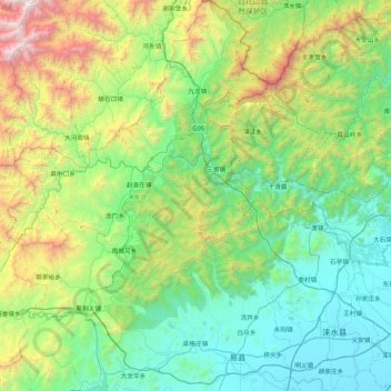
Name: 涞水县 topographic map, elevation, terrain.
Location: 涞水县, 保定市, 河北省, 074100, 中国 (39.29520 114.99386 39.95121 115.81327)
Average elevation: 668 m
Minimum elevation: 28 m
Maximum elevation: 2,832 m
Other topographic maps
Click on a map to view its topography, its elevation and its terrain.